How a satellite can pinpoint detrimental pollution hotspots
Technology may be key in the battle against climate change
By Annette J Beveridge
Climate change has become the dark cloud of dread hanging over us and it is a problem that is not going to go away. Most people understand that a warming planet is a serious problem, but many feel helpless and frustrated by the pace at which change is occurring.
We talk a lot about the risk of carbon dioxide and it is true that human activities has led to a 50 per cent increase of atmospheric C02 since the onset of the industrial revolution. This is a serious risk for climate change but, it is not the only issue.
Another gas has many negative implications.
Mitigating methane
There are different sources of methane but we know that agriculture is one predominant source with approximately 32 per cent of emissions caused through livestock including from manure and gastroenteric releases.
However, it is important to note that methane does not just come from animals.
Methane is a main component of natural gas but it is worth noting that it is a by-product from the drilling for oil. Unsellable gas is converted into compounds which includes carbon dioxide and flares are designed to eradicate approximately 98 per cent of methane.
In fact, a study in Plant et al. used airborne sampling to measure flare efficiency in three major gas production regions in the United States and found that methane emissions were five times higher than previously thought.
Being able to identify key locations where methane is occurring is vital because it should highlight the companies or industries that are causing the issues.
Recent research indicates that if ALL methane mitigation measures were implemented now, it could slow warming by about 30 per cent on a global level, which would be the equivalent of 1/4 of degree centigrade avoidance by 2050. It would also put us on the route to avoiding 1/2 degree centigrade increase by the end of this century.
The good news
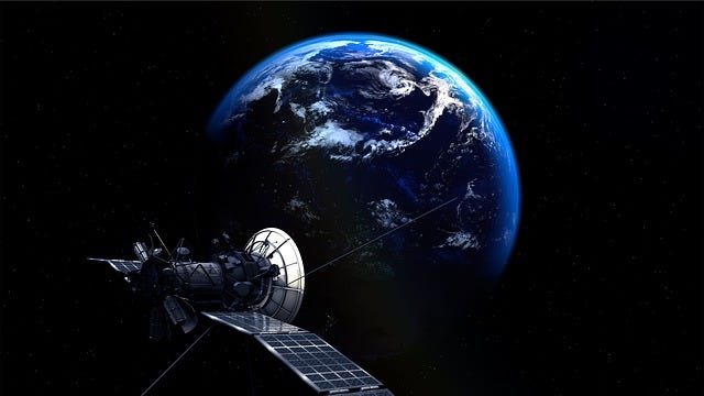
A satellite is due to launch in California in early March and it will enable governments and businesses to pinpoint methane hotspots across the planet.
The satellite was developed by environmentalists, scientists, and aerospace engineers at considerable cost (88 million U.S. dollars).
The satellite is called Methane SAT and it should provide the best view of methane emanating from oil and gas fields or any methane coming from landfills or agricultural sites.
Satellite operators working alongside Google will then process the data gained and the data will be freely available. Artificial intelligence algorithms will also map gas and oil infrastructure across the globe and identification will highlight where the pollution is occurring.
This is important because methane is more than 80 times potent than CO2 when it comes to trapping heat around the planet. Although CO2 persists for centuries, methane lasts much less, (about 12 years) but this does not make it less of an issue.
By reducing or eradicating methane emissions, it would have a welcome cooling effect on temperatures across the world at least in the short term.
The brutal and climate-damaging livestock industry
By Annette J Beveridge Farming animals is one of the biggest contributors to climatic changes and more than 80% of animals caught up in the intensive factory farming industry live miserable lives. The farming of livestock causes more than 14% of greenhouse gases and takes up more than 80% of agricultural land across the world. By reducing meat consumption or opting for a plant based diet, this would reduce land usage by 76% and dramatically cut greenhouse gases.
Save the planet one step at a time
By Annette J Beveridge The term climate change has become an integral part of everyday language and while this is a good thing because it shows (however slowly) the message is getting across, we are still living on a knife-edge of vast environmental losses.
The powerful snake-stomping Secretary Bird
By Annette J Beveridge A RAPTOR that stalks and delivers a powerful blow to even the most venomous of snakes is facing real threat due to indiscriminate poisoning, habitat loss and habitat connectivity. Reaching heights of up to 1.5 metres, (more than 4ft) and with a wingspan of up to 2.1 metres, (6 feet) Secretary Birds are tall, distinctive birds li…


